I moved to Oregon in December 2014 and Cory moved in the October before and yet we’d not been to Crater Lake until a little over a week ago. It’s not a convenient place to get to as it’s pretty isolated. We were road-tripping for our anniversary and we realized we could make it work on the way home from California!
There was this beautiful lake on the way to Crater Lake coming up from the south. There wasn’t a good place to pull over for a lot of pictures, so say Hi to Cory! Haha
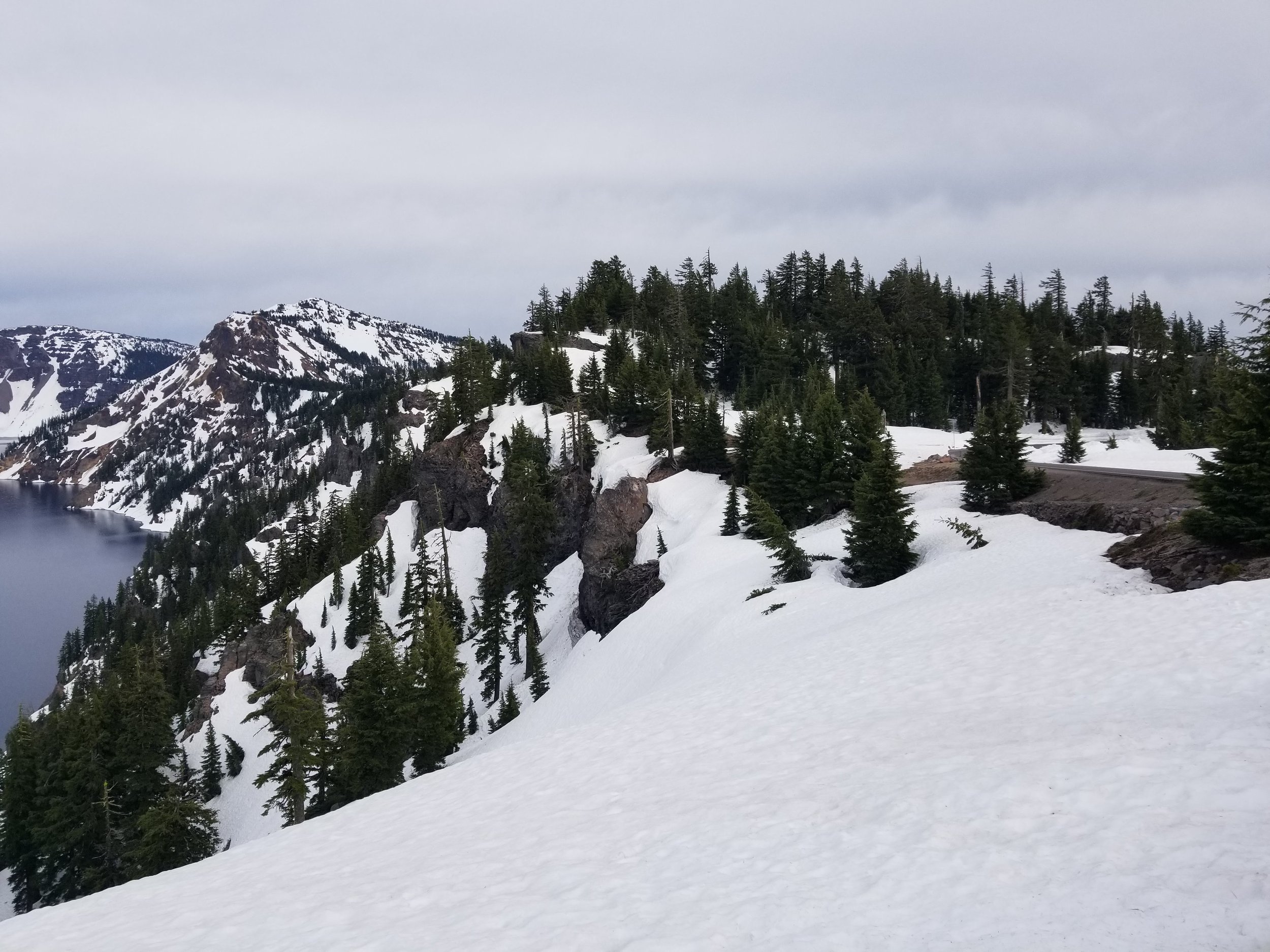
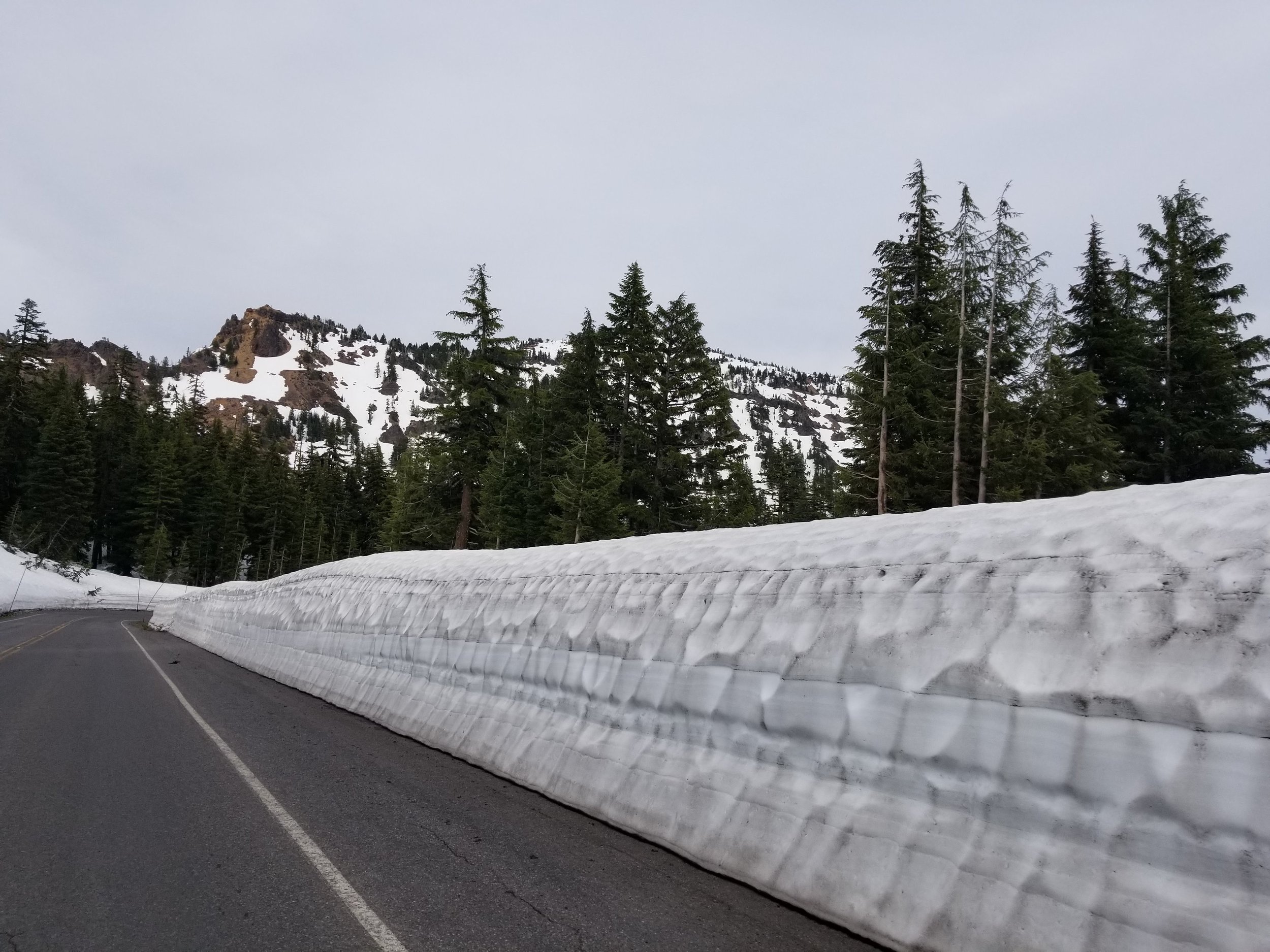
They are working on the visitor center at the park, but currently the snow is so high up the buildings! (And up the roads, etc. most roads in the park were closed, so we were only able to get to Crater Lake via the south entrance, which worked well as we were coming en route from California.)
This was a fun opportunity to test out our new GPS as we walked around the lake.
This was the end of May and as you can see the snow was really high. There is a possibility of snow there year-round, but while we were there it was 45 degrees and the snow was a bunch of hard pack that has been accumulating for some time.
Crater Lake is the deepest lake in the United States and it is all from rain and snow melt. Once a mountain called Mt Mazama, the volcano blew long ago and collapsed leaving behind a large crater which became the lake over time. It is still considered an active volcano. A lot of what is so neat about the park is really about recognizing the processes that created what you see there. There are plenty of snow-capped mountains with mountain lakes nearby in the Pacific Northwest, but knowing how this lake was once a volcanic mountain really changes your perspective being there.


